 KIRAN GOES PLACES
Humantay Lake
4,200m
Salkantay Pass (highest point)
4,630m
Jungle domes
2,000m
Llactapata
2,700m
KM 104 (Inca Trail checkpoint)
2,100m
Total
5 days, ~75km
I've made a lot of videos where I'm talking over every step, but this trek didn't feel like it needed that. Some of the scenery on the Salkantay route is dramatic enough on its own, so this one is just trail sound, wind and five days of walking, waypoint by waypoint, all the way to Machu Picchu.
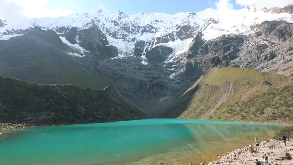
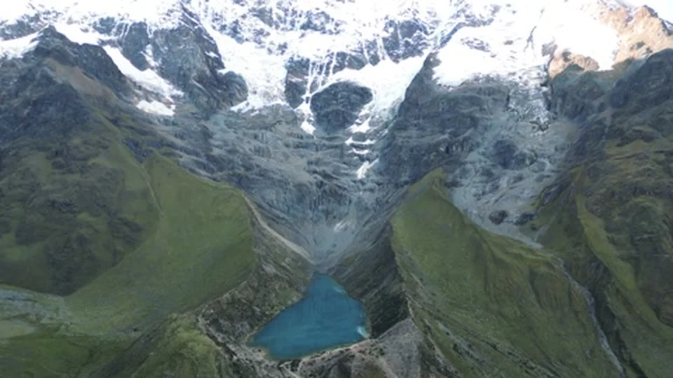
Humantay Lake, 4,200m
The first proper stop, a glacial lake sitting under snow capped peaks, so turquoise it barely looks real. It's a steep detour up from the main trail, but it's usually the first moment on this trek where everyone just stops talking and stares.
Turquoise, glacial, and barely looks real in person either.
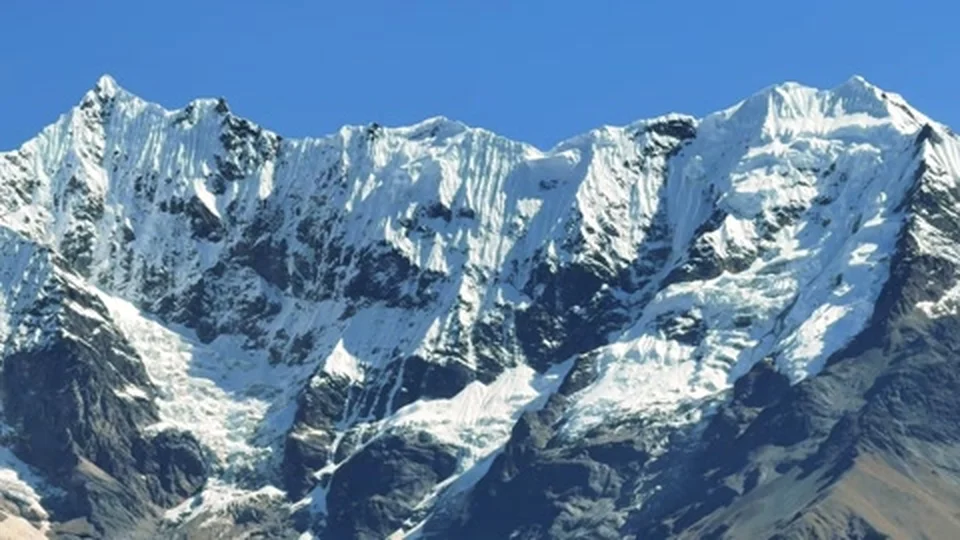
Salkantay Pass, 4,630m
The highest point of the whole trek, and the hardest few hours of walking, thin air, loose gravel, and a ridge line that just keeps going. Everyone slows right down up here, less to do with fitness and more to do with the altitude simply not giving you a choice.
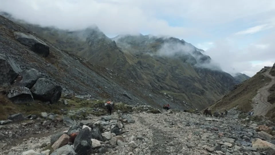
4,630m, and the highest either of us has ever walked.
Down to the jungle domes, 2,000m
From glacier to jungle in a single afternoon, the trail drops fast on the other side of the pass. That night was spent in a geodesic glass dome at 2,000m, a strange but brilliant contrast to how the day started.
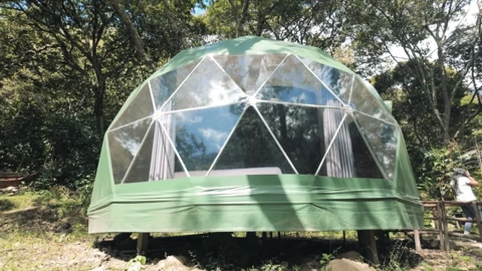
Glacier in the morning, jungle glass domes by night.
Llactapata, 2,700m
A quieter Inca site most people rush past, grassy terraces with llamas grazing and, on a clear day, a distant first look at Machu Picchu's mountain across the valley. Worth the extra few minutes off the main trail.
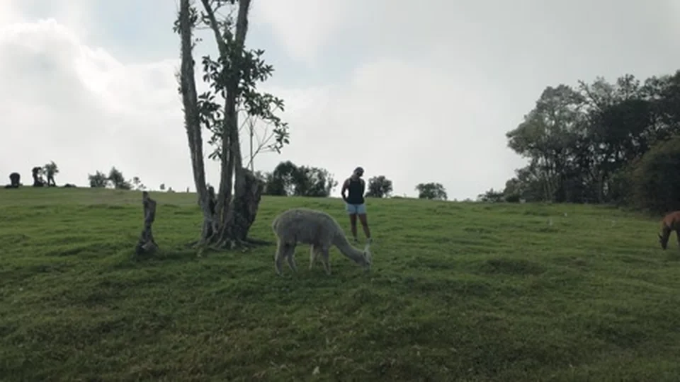
Llactapata, 2,700m, and usually just you and the llamas.
Further down, the trail crosses river after river, some on proper suspension bridges, wood slats swinging underfoot with the water moving fast beneath.
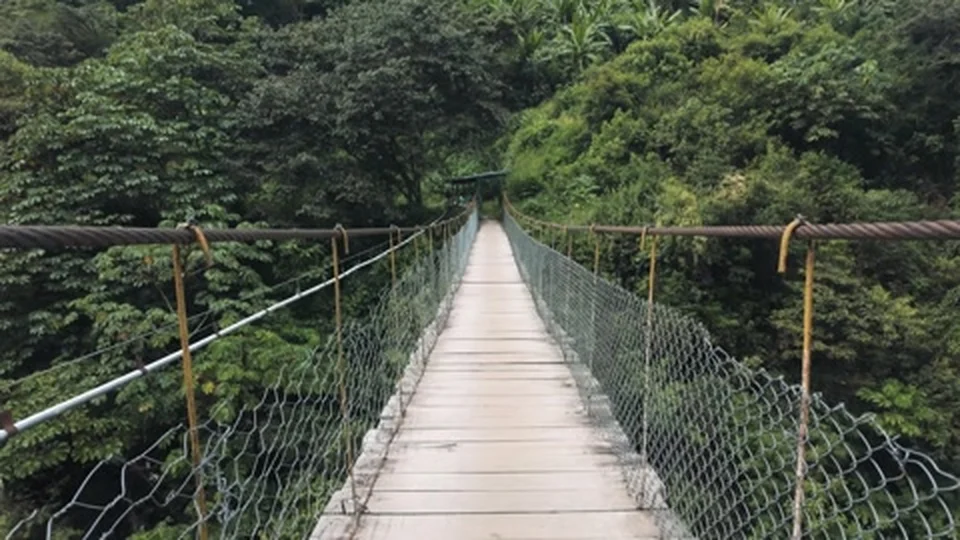
Not the moment to look down for too long.
KM 104, 2,100m
This is where the Salkantay route meets the railway line and, for anyone extending onto the Inca Trail, the official checkpoint. Permits get checked here, then it's across one final bridge and up into the cloud forest.
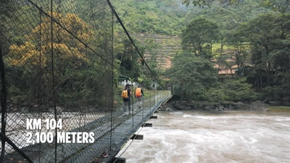
The point where Salkantay joins the original Inca Trail.
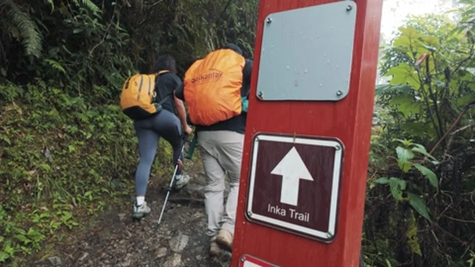
Onto the original stone steps for the final stretch.
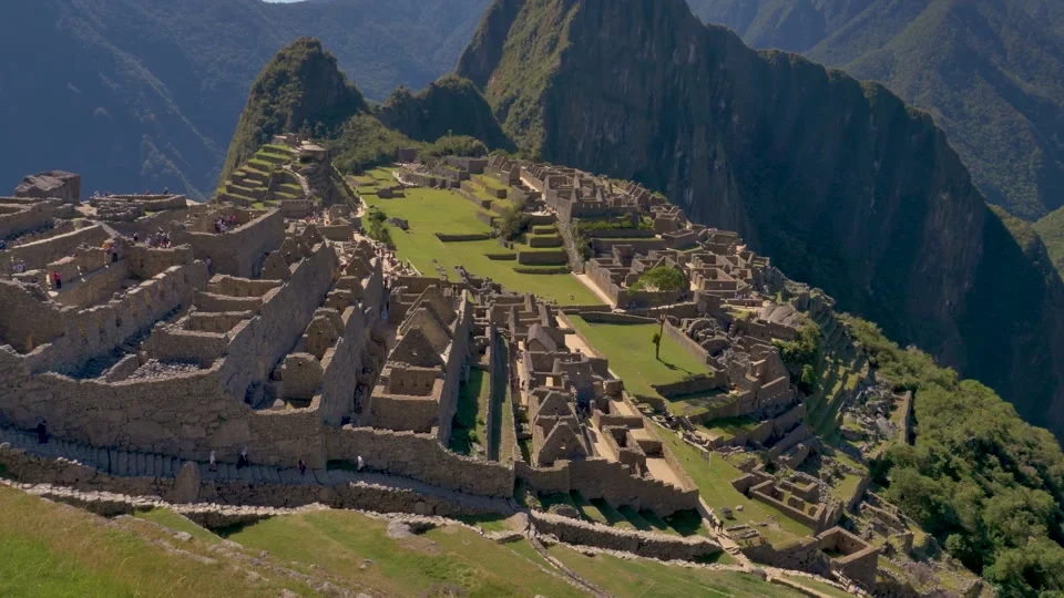
Machu Picchu
After five days and close to 75km, the trail finally opens out and the citadel appears below, terraces first, then the rest of it, still half wrapped in cloud. No amount of watching other people's videos actually prepares you for seeing it in person after walking the whole way there.
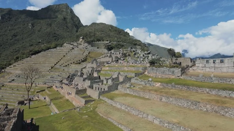
Five days and 75km later, and it's finally in front of you.
If you want the full breakdown of what this trek actually involves, I've written up everything I wish I'd known before setting off, and the story of the final push through the Sun Gate.